SIAM RUIN ATLAS / FIELD INDEX
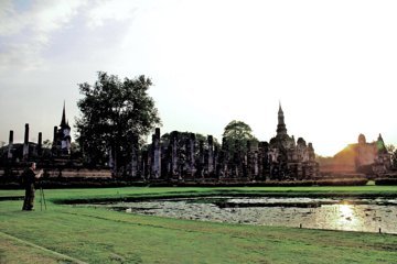
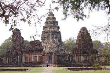
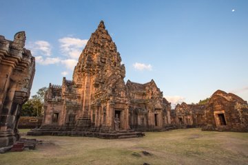
Thailand’s archaeology does not fit into one day trip. Compare ruined cities, Khmer sanctuaries and prehistoric sites, then choose an overnight base for the part of the country you want to explore.
These approximate orientation points show how the sites are spread across Thailand. They are not entrances or road routes; use each guide to plan access. Mueang Sing and Muang Tam use the centers of the tourism office’s embedded maps.
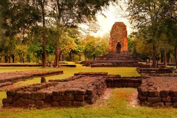
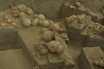
Plan Ban Chiang around its museum and preserved excavation, with practical opening-day checks and a clear distinction between village and archaeological site.
Read guide ↗Match your stay to the sites you want to visit, rather than trying to connect distant regions in one outing.